Professional Surveying and Inspection Services
See More. Build Better. Control Every Angle.
Transform your surveying projects with cutting-edge drone technology. Get accurate data, 3D models, and comprehensive site analysis faster and more cost-effectively than traditional methods.
Why Choose Ayn Al-Taqniya?
We use revolutionary technologies that deliver superior results while reducing costs and project timelines
Lightning Fast
Complete inspections and surveys in hours, not days. Our drones and 360 cameras cover large areas quickly while maintaining exceptional accuracy.
Cost Effective
Reduce surveying and inspection costs significantly while getting more comprehensive data and detailed analysis.
Pinpoint Accuracy
Advanced sensors and GPS technology ensure millimeter-level precision for all your surveying needs.
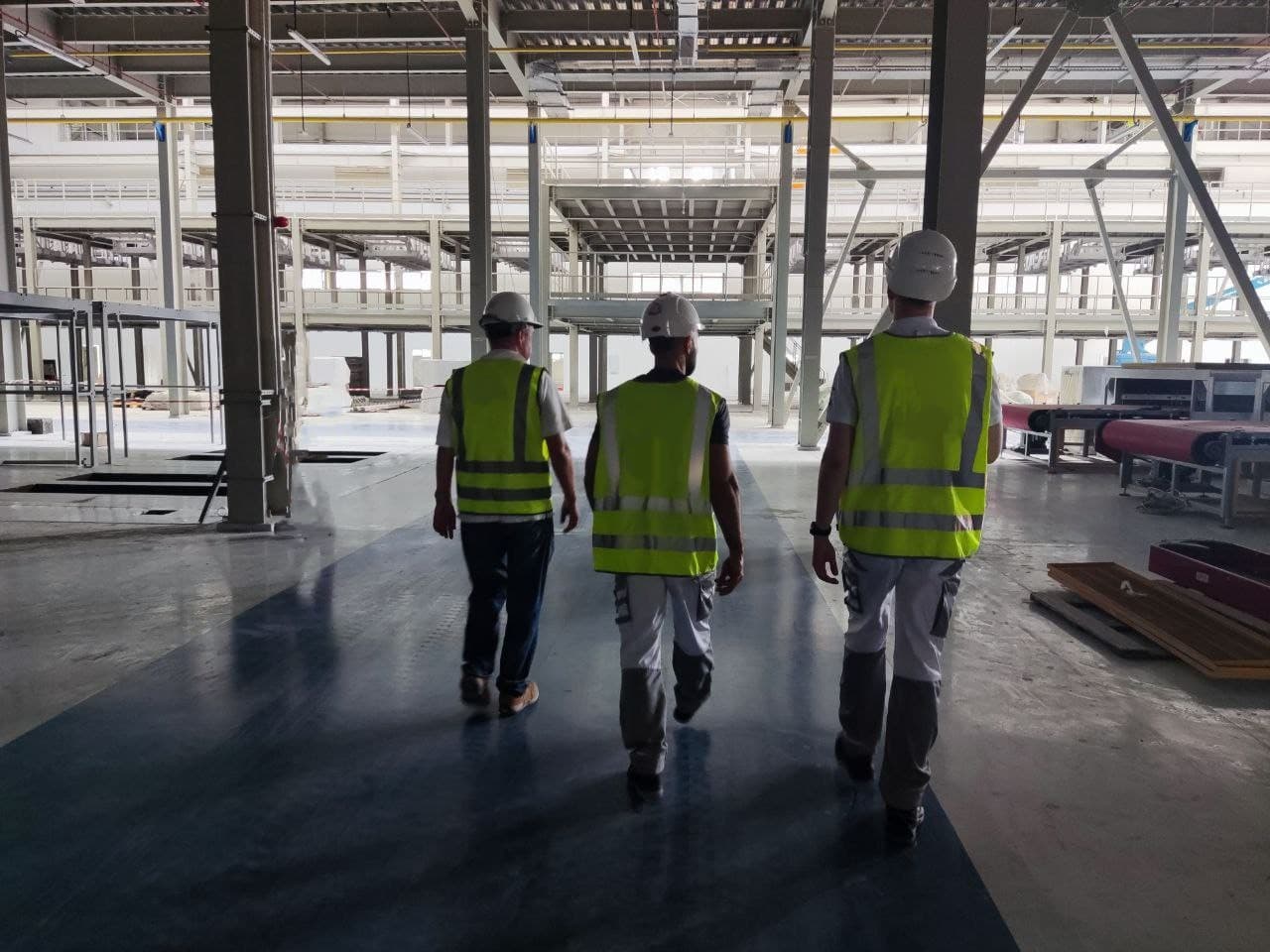
Complex Site inspections in UAE
From aerial mapping and 360 site inspections to BIM modelling, we provide complete solutions for every industry in UAE
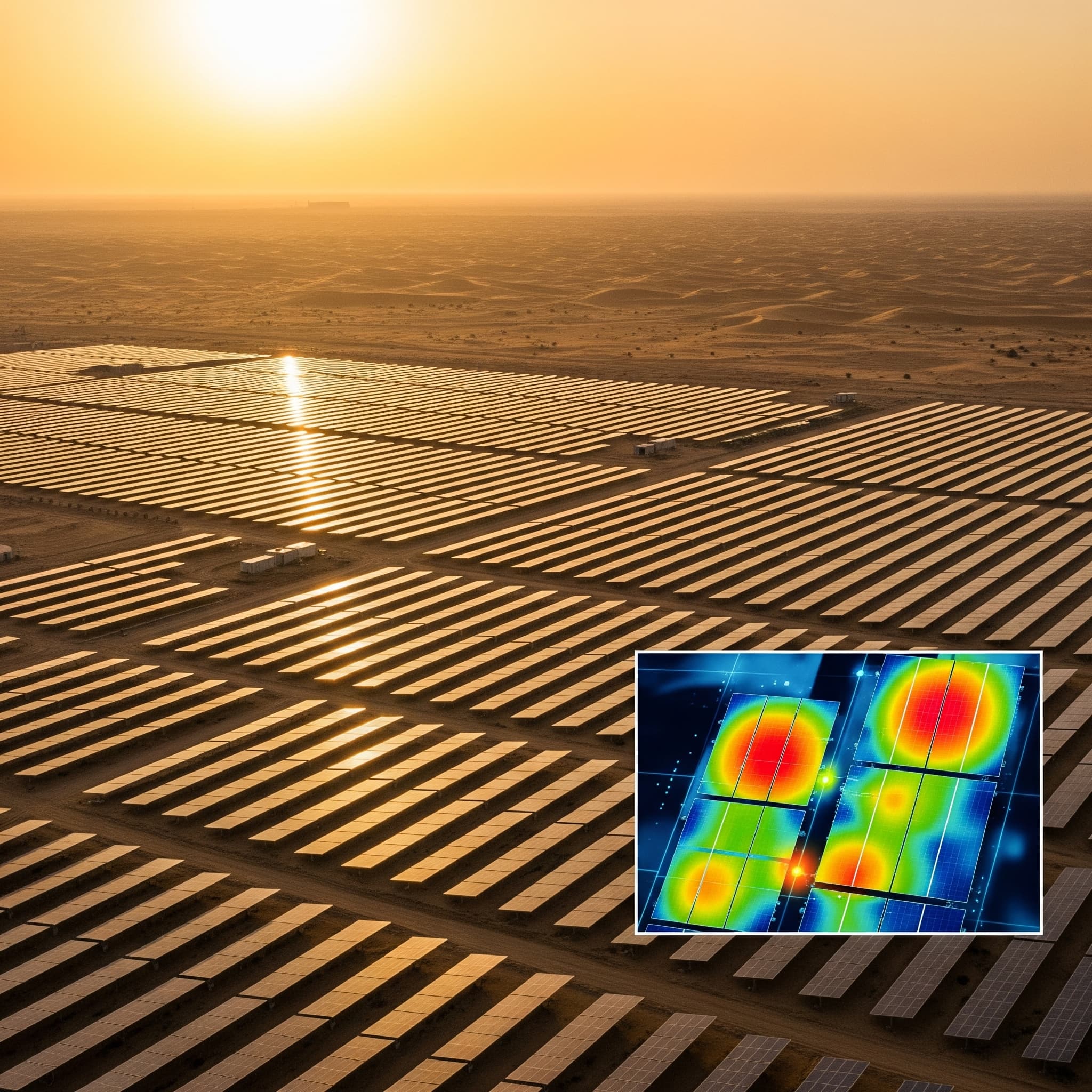
Aerial Mapping & Orthomosaics
High-resolution aerial maps and orthomosaic images for precise site documentation
Sub-centimeter accuracy mapping
GIS-ready deliverables
Multiple format exports
Real-time progress tracking
3D Modeling & Point Clouds
Detailed 3D models and point cloud data for comprehensive site analysis
Sub-centimeter accuracy mapping
GIS-ready deliverables
Multiple format exports
Real-time progress tracking
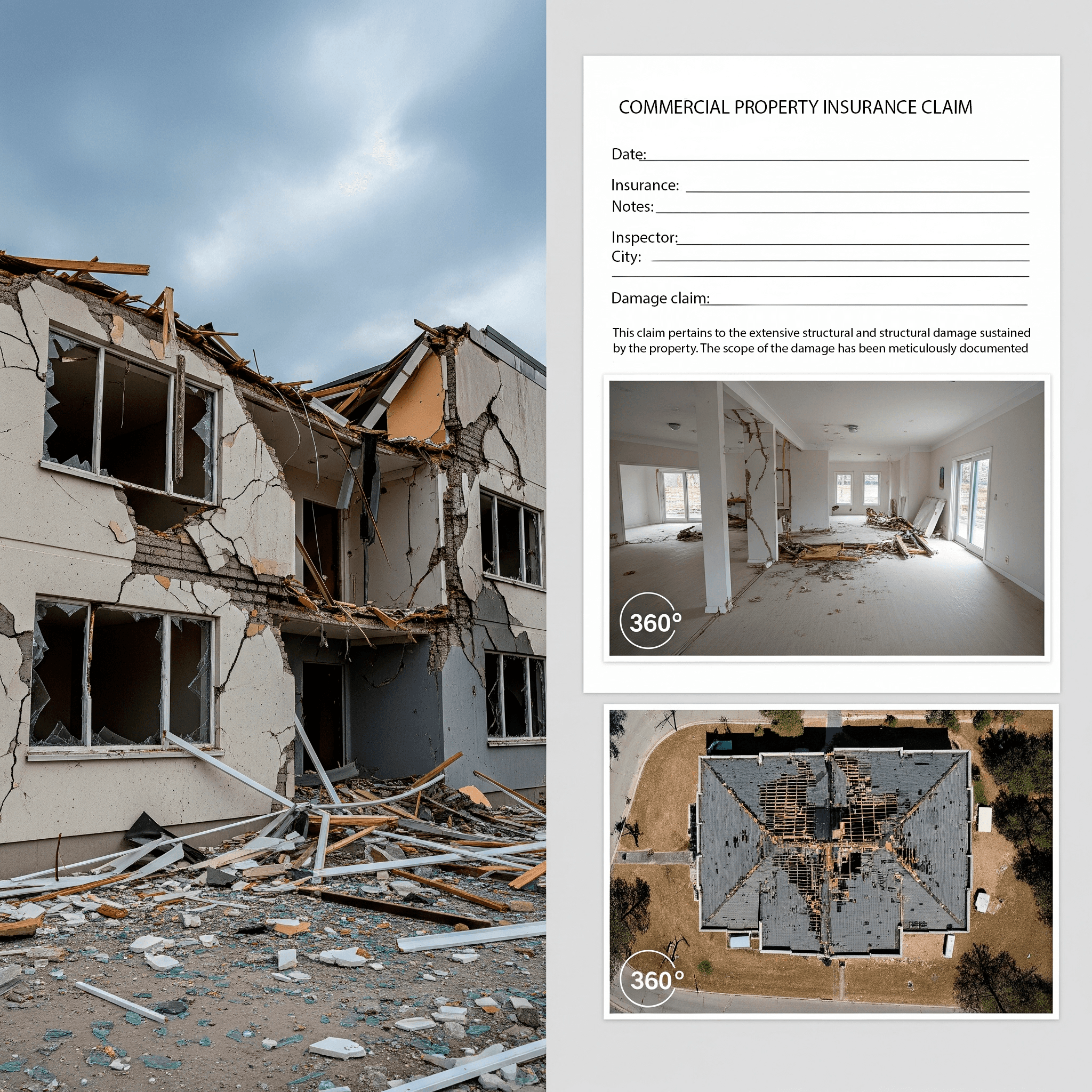
Site Inspections & Monitoring
Regular monitoring and detailed inspections for construction and infrastructure projects
Sub-centimeter accuracy mapping
GIS-ready deliverables
Multiple format exports
Real-time progress tracking


Building Partnerships on a Foundation of Data
We are committed to providing the clarity and precision that modern AEC, Real Estate, and Energy projects in the UAE demand. Our success is measured by the value we deliver to yours.
In the UAE`s fast-paced construction environment, inaccurate data leads to costly rework and delays. We provide a definitive, survey-grade digital record of your project. Our commitment is to deliver data that empowers your team to make faster, smarter decisions, saving valuable time and resources at every project stage.
Inspecting critical infrastructure should never come at the cost of human safety. We leverage advanced drone and remote data capture technology to access hazardous or hard-to-reach areas. Our commitment is to provide a comprehensive view of your assets while keeping your teams safely on the ground, enhancing both safety and operational uptime.
Data is only powerful when it`s accessible and collaborative. As official SIGNAX partners, we ensure the digital models and documentation we create are seamlessly integrated into a leading Common Data Environment. Our commitment is to provide a single source of truth that is accessible to your entire team, from the office to the field, on any device.
Ready to Bring Clarity to Your Project?
Get a free consultation and quote for your drone surveying needs. Our experts are ready to help you achieve precise results efficiently.
Free Consultation Includes:
Project scope assessment
Detailed cost estimate
Timeline planning
Technical recommendations
Get Your Free Quote
Fill out the form below and we'll get back to you within 2 hours